OT: This is the first time I've noticed a website hijack the Page Up/Down keys to navigate between articles. This is stupid. I can't imagine anyone equating Page Down (the universal key for "scroll down a view") to "Next Article".
It's almost as annoying as "swipe left/right to navigate between articles". I'm never going to want to do that. I'll rarely click a next article link. But with the swipe/tap to navigate thing, I'm terrified to touch my screen in case the site I'm on behaves in some non-standard, ridiculous way.
I strongly agree; it's a nasty antifeature. It might be tolerable if there was no vertical scrollbar and the page loaded immediately, but there is and it doesn't.
At least Britain should also have censorship too. Maybe imprisonment too after we jailed people for inciting riots, but that's certainly not comparable to some others. Also it was the FBI that shut down Megaupload, should we consider that US-sponsored censorship that just happened to affect the rest of us?
Realistically, all 3 - surveillance, censorship and imprisonment are way too nuanced for such a simplified diagram. Trying to fit them in was probably a mistake IMO.
No. If we're being honest, we label those countries based on evidence.
Two years ago, it was a "conspiracy theory" to suggest domestic dragnet internet surveillance by the NSA. Now it's "naive" to not assume everyone is doing it.
That would be every nation. The majority do surveillance, and many of those who don't frequently ask for data about their own citizens from those who do. It's useful to either show a badge for either the worst offenders, or have a scale / gradient regarding how much surveillance is done.
I wonder why Sweden is not listed as a surveillance country. Also the connections to Sweden looks odd since I think there are direct cables to the UK for instance.
The Poland-Denmark-Norway-Iceland-Sweden region seems incorrect. Also I'm not sure how to read Finland-Estonia-Russia or Cyprus-Israel-Turkey sections, the map would be clearer if the splits happened only in nodes (ie countries) and not in-between.
Overall the map seems hugely simplified wrt Europe, which I believe to be far more interconnected. If simplification is desired then imho it would almost be better to just bunch all of Europe as single node
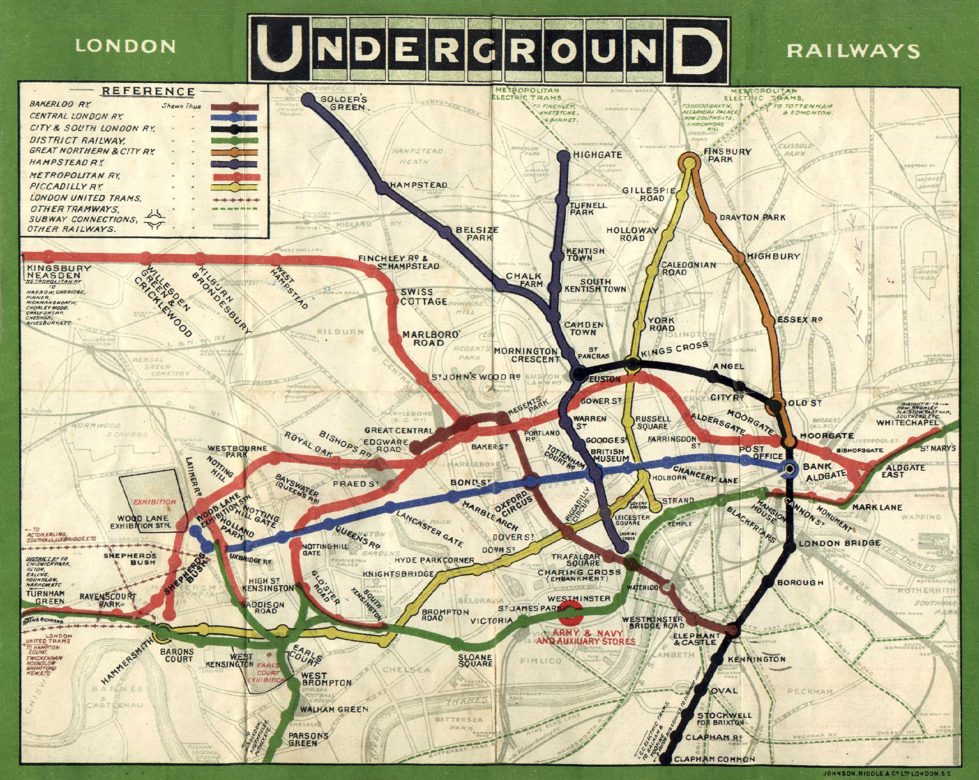
I disagree. While the original is far more comprehensive and interactive, this map is a superior visual summary for the same reason the original London tube map was so revolutionary - it allows you to see the layout of the network without geography getting in the way (not an obvious thing to do at the time). I for one, despite having looked at many such cable maps, have never managed to grasp the actual topology of the internet.
There are far cleaner geographic tube maps than that, and if you want to have any idea of where you are in London the geographic tube map is the one to use. The designed map is very clean and clever but eliminates all information except the list of stations per line, which is no use when you want to relate those stations to places where time and distance matter. You can get out at station A, walk to your final destination only to find a closer station that the map gives no indication of. It's simplistic to the point of misleading. Some people have brought out maps indicating walking distance between stations in an attempt to fix a fundamentally unsuitable map. Tinkering. The complete lack of character in a straight line also makes locations harder to remember - I need to change on the straight line with a station called arbitrary name vs I need to change at the kinky curve. The current map is great, but it should hang in a museum.
That map does seem pretty useful, it's certainly easier to figure out if it's quicker to walk somewhere(sometimes what looks like a long route on the tube can actually be a 10/15 min walk). Bear in mind that there's far more information on the modern map though. There's additional tube lines (e.g. jubilee, victoria, and the whole DLR) and it covers a far greater area of London.
Ain't it funny that none of the cables actually drop into Silicon Valley. Most of the Northern California cables drop near Morro Bay or San Luis Obispo instead.
Blown away! Any idea why Brazil is the 2nd largest user of Twitter and has such a huge geo footprint? Was not expecting that, also Indonesia being 3rd is crazy as well.
Brazil is huge. It is the fifth largest country by population in the world.
US has roughly 320m people; Brazil has roughly 201m. Plus Brazil has high Internet penetration. US has roughly 250m with Internet access; Brazil has roughly 100m.
Brazil has one of the largest populations and the largest number of people with Internet access. Also Brazil is a major world economy.
So the real question is why China and India don't have more Twitter users. China I understand because Sina Weibo is more popular there. I don't know about India. Is there an Indian social network that is more popular? I suppose part of it might be that Portuguese and Indonesian use the Latin alphabet whereas Chinese and Hindi do not.
Indonesia currently have a very big "relationship" with twitter as more people are getting smartphones everyday.
And getting stuck in traffic would contribute to a lot of tweeting. FYI, Indonesian more people access YouTube from phones than other countries compared to the pc web version, at least in South East Asia.
wait too much word. I mean compared to other countries, a bigger portion of Indonesian people access YouTube through their phones than "traditional" computers
Having recently moved to Sydney from London, I was shocked that it cost more here for a 16mbit ADSL connection with a 200GB limit, than it did for an unlimited 120mbit cable connection at home. Upload speed is horrendous.
The pages says that it was based the the “Enemies of the Internet” report from Reporters Without Borders[1].
There are plenty of issues with internet freedom in the USA, UK and Western Europe but I don't think they're on the same scale.
I'm happy to criticise the government from my UK connection[2]. Would you want to do the same from a Chinese, Syrian or Saudi ISP?
So this is an interesting visualization, but not very helpful if you want to understand how data flows on the internet.
As an example, referring to the list of internet exchanges [1], the 1st and 2nd largest data flows on the internet (through the main German and Dutch exchanges) now seem to happen in an isolated tube segment. This of course implies there are a quite a few other tubes that are more important than the tubes displayed here if you want to understand the data flows.
I'm very surprised at some stances taken on this map. Only a handful of countries have the censorship badge, whereas reports globally indicate otherwise... I'm thinking of Turkey, but also South Korea, and others...
Great. Would it be possible to add interactivity to this map.
E.g. I am now in China, checking some website hosted in France. Can it tell me the usual routes? Could it trace route real time and show me which one was chosen?
This whole slideshow was too pro US for my taste, academia everywhere seemed too big there in comparison because all other countries where chopped up in such small pieces. The only fair comparison was the # of top ranked school in the world, where actual continents where being compared.
Wow, you really wouldn't guess from looking at this map that Lithuania has some of the best fibre infrastructure in the world, and the fastest upload/download speeds per dollar (or litas, in this case) in the world.
I don't get the surveillance icons part. Technically every country should have that eye thing because, so we've been told, the NSA can vacuum up every bit out on every wire.
http://geography.oii.ox.ac.uk/wp-content/uploads/2014/04/Int...